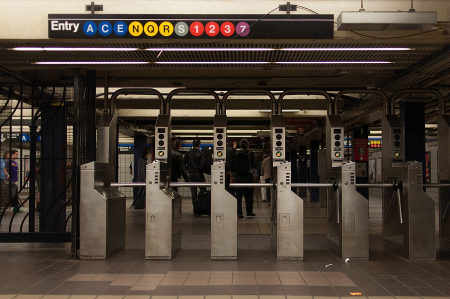
The MTA revamped its mobile app with real-time updates such as live train movements on its subway map, and a day and time-based commute planner on Oct. 21.
“Together, we’ve helped merge the beloved features of the Vignelli map and the Hertz map in a way that can now show planned service changes holistically and accurately,” Sarah Meyer, New York City’s Transit’s chief customer officer, said.
By zooming out with their fingers, users can view the website and app that will display the standard 1979 Michael Hertz map that New Yorkers are already familiar with. If users zoom in, they’ll be able to see actual trains moving on a map model that is similar to the 1972 Vignelli map.
Users can also receive updates in real time for train time arrivals, service changes, and elevator and escalator availability. Service changes for specific train lines are denoted with an exclamation point on the app’s home screen. Similarly, the app will illustrate these changes by showing trains stopping at a station or a different train running on the track when users zoom into the train view.
“We want rider feedback as we continue to develop this exciting new tool,” Sarah Feinberg, interim president of New York City Transit, said. “Especially valuable at a time when the MTA is facing a fiscal crisis of unprecedented magnitude because of COVID-19, I want to thank Work & Co. for this incredible contribution to the transit system and to all New Yorkers.”
Work & Co is a Brooklyn-based global design and technology firm that partnered with the MTA and the Transit Innovation Partnership to bring this new map to life.
The map, which can be accessed at map.mta.info, replaces other viable apps like The Weekender by allowing users to plan ahead in real-time by selecting “Now,” “Tonight” and “Weekend.” The screen will display train arrival times within the hour by using countdown clock data from the MYmta app and other third-party train tracking apps.
Other notable features include emergency alerts that communicate train issues for users and ways for passengers to access nearby airports from the station. Users can also share exactly what they are looking at by using a direct URL which stores the train line and the same zoom level they are looking at.
“As designers, we admire the history of the MTA’s legendary printed maps, but technology enables us to create something more powerful,” Felipe Memoria, founding partner at Work & Co., said.


