

GPS navigation apps should integrate more accessible features for visually impaired individuals. Their conditions shouldn’t be afterthoughts; they deserve access to features that minimize the difficulties of navigating the New York City subway system.
Although apps like Google Maps and Apple Maps provide auditory directions for navigating streets, they don’t give much guidance on the part of a route that involves subway stations and other public transport hubs.
Subway signage usually features various visuals and texts which can be nerve-wracking for some.
According to a 2022 report from the New York City Department of City Planning, about 200,000 New Yorkers are visually impaired. New York University associate professor and Metropolitan Transportation Authority board member John-Ross Rizzo aims to help visually disabled people navigate the “middle mile” with a new app called Commute Booster.
Commute Booster’s algorithm uses subway location and pathway data from public transit agencies to make a list of signs that riders might encounter at a station. It also uses optical character recognition to convert signage text into editable text that can be read aloud to users.
When these two features are combined, the app provides information on the relevant signage’s location and gives auditory and vibratory feedback to guide users in the right direction. The app was tested at the Jay Street-Metrotech, Dekalb Avenue and Canal Street stations and was 97% accurate in identifying relevant signs to users.
The MTA should consider collaborating with Commute Booster to integrate this technology into the MYmta app to increase accessibility. The app does have a trip-planning feature, but relies on visual directions.
While the MTA lacks an accessible app, it has experimented with implementing more station assistance for visually impaired individuals.
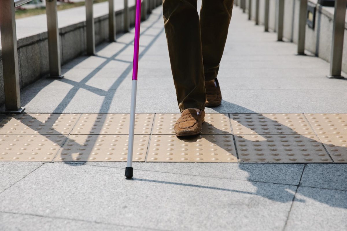
In 2020, the MTA installed blue and yellow tactile guideways and floor strips at the Jay Street-MetroTech station that inform riders of their surroundings. The different designs let riders know if they are approaching a stairway or intersection and where to move forward.
These efforts shouldn’t be limited to one station; they should be a station standard.
Moreover, navigation and transit companies should consider working with services like Commute Booster to make travel safer and easier for visually impaired people. Adding these features will simplify trip planning and give users a one-stop service for all their travel needs.